
General information
Universidad Politécnica de Madrid
-
Research GroupAdvanced Geomatics Applications Group
-
Hosting Organisiation
-
AddressEscuela Técnica Superior de Ingenieros en Topografía, Geodesia y CartografíaUniversidad Politécnica de Madrid (UPM)Campus Sur UPM, Calle Mercator, 228031 Madrid, Spain
-
Contact Info:
-
Phone
-
Emailgi.aga@upm.es
Description
Advanced Geomatics Application Group (AGA-UPM) has the mission of promoting teaching, research and technology transfer in the area of Geomatics applied to Civil and Environmental Engineering.
Our vision is to become a bridge between Geomatics and Applied Civil Engineering.
Summary of Research Services
3D Modeling in Reverse Engineering and Cultural Heritage
Movement control with DInSAR remote sensing
Life Cycle and Carbon Footprint
Technology Capabilities
Control of movements of Ground and Infrastructures.
Geomatics applied to Water and Environmental Engineering.
Geomatics applied to Urban Development and Smart Cities
Main equipment or Facilities
AGA-UPM is hosted at the Geomatics Lab, equipped with five process servers and 58 computers for teaching and research. It has two Computer rooms for 40+30 students. These rooms are used intensively in both research and teaching (20 hours per week), in the subjects as Topography and Cartography GIS and Remote Sensing.
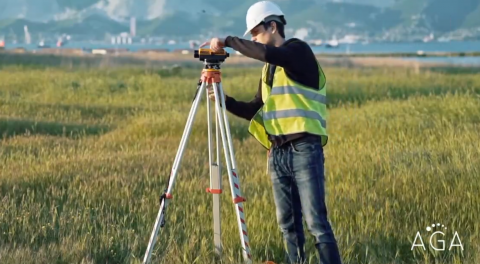
It also has technical Survey equipment (RTK GPS, 12 Total Stations and 12 Levels) as well as a Digital Photogrammetric Station.
We work in agreement with main Geomatics companies (Leica Geosystems, Topcon, Trimble,…) that provide latest equipment for Research and PhD Thesis (Multi-Station, TLS, Ground Based Radar- GBSAR).
The Geomatics Lab performs remote sensing works processing at UPM Cloud (Drive UPM) as well as other services.
The Laboratory supports UPM spin-off DETEKTIA, active in the field of radar ground and structural monitoring.
Software, tools or licenses to be applied to Big Science :
Digital Terrain Modelling: Autodesk Civil3D.
GIS: ArcGIS, QGIS.
Remote Sensing: SNAP, STAMPS, Sarproz.
2D Hydraulic Modelling: Infoworks, IBER.